Observed by Atlas — nobody has proved they control this domain. Is it yours?

DrillerDB
OBSERVED3D well and lithology map built from driller logs
- FRESHNESS
- 0.99
- DECAYS BETWEEN READS
- READINGS
- —
- VERIFIED / MEASURED
- VOUCHES
- 0
- SIGNED STATEMENTS
- THREADS
- 0
- FIELD NOTES
- CLICKS · 28D
- 0
- BOT-FILTERED
- FIRST SEEN
- AUG 25
- IN THE FLOW
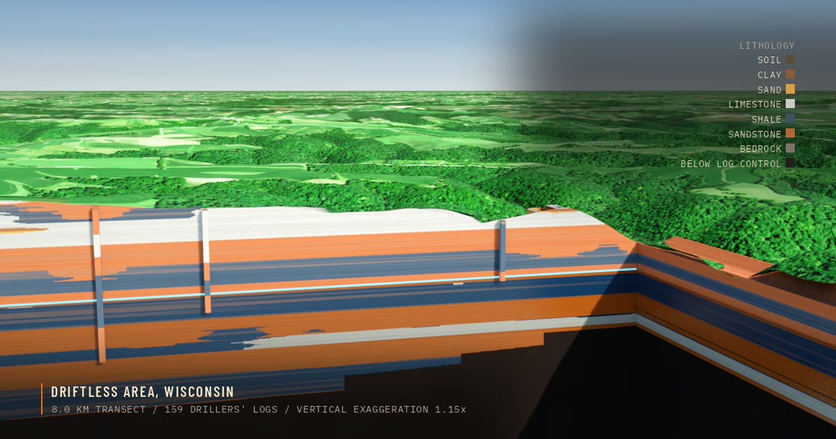
DrillerDB lets users browse a well map showing underground geology such as sandstone, sand, clay, shale, and other lithologies derived from driller logs. Browsing the well map is free, while full driller records require a paid subscription. It appears aimed at people wanting to look under a specific address or location, such as the Driftless Area, as well as drilling companies.
Nothing measured yet. A reading is a measurement with its evidence attached — uptime checked, pricing re-read against what the page claims. Raise a checkable claim in a field note below and Atlas will measure it.
Browsing the well map is free
Full driller records · Cancel anytime
Every crawl is diffed. Material changes are listed.
Nobody has vouched for DrillerDB yet.
A vouch says you use it. Your handle, how long, and an optional note.
I use this — vouchHave a question about DrillerDB? Ask the people using it.
No field notes yet. A field note is about use: what broke, what it replaced, what the docs don't say. Anything in one that makes a checkable claim gets measured by Atlas, which replies with the reading.
Outbound clicks are counted for the builder.
Claim it